Location analytics represents an untapped possibility for businesses. The ability to attach location-related information to data sets is invaluable at a time when organizations are increasingly drowning in information and competing to glean value from it.
According to Forbes, location data has the potential to make a direct contribution to business decision-making, giving workers critical perspectives on data that would otherwise be unattainable. Location data can be used to do the following:
- Enrich existing data sets with geocoding to provide a deeper awareness of the context surrounding information.
- Improve analysis by using geographic details to link related information together.
- Streamline visualization by placing data on maps to make it easier to see patterns and take action on information.
While these capabilities are powerful, entry-level location analytics services are widely available, but more nuanced, powerful systems are difficult to come by and require specialized expertise.
Sophisticated location data practices hinge on deep integration between systems that gather raw data, underlying business intelligence platforms and end-user applications. Getting location data is easy. Most of it comes from smartphones and sensors. The key hurdle that organizations must overcome is building location analytics into business intelligence.
Using Location Data for Business Intelligence
In most cases, integration between location data and business intelligence systems is done through dedicated applications and platforms that are capable of leveraging information from both sources. This can reduce some of the manual work or back-end system integration that would need to be done in order to directly align the whole solution. Instead, the platform serves as a central location for actually using data, letting you easily bring location information into your BI system and then having the data platform grab relevant data from there.
An ESRI article details how this process can work by highlighting the capabilities of the ESRI Location Analytics system. It functions as a mapping tool that can grab data fed into a business intelligence solution and automatically visualize it on specialized maps. The ESRI system is capable of analyzing the raw data and determining the best way to enrich, analyze and map it, streamlining the analytics process and making it actionable for users.
Similar functionality is available in the Google cloud. Google has integrated its core maps tools into its data analytics systems so businesses can organically build location data into their various analytics processes. The Google Maps Platform covers 99 percent of the world and can provide deep data visibility into real-time information from diverse sources. Here are three specific services that organizations can leverage within Google Maps:
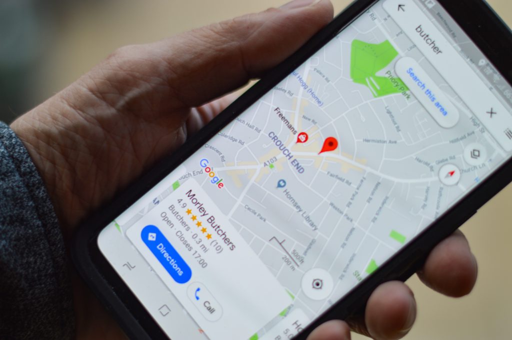
- Maps: Use the map overlay with either static, dynamic or street-level imagery. Companies can even get 360-degree views of locations with key data visualized within the displayed visualization.
- Routes: Bring in real-time traffic data and put it on your maps to identify and project the best routes for your teams.
- Places: Gather data from more than 100 million places and deliver that data to users in intuitive, natural ways.
These application-level capabilities can feed your analytics systems, as they both bring in data and use that information to deliver insights into end users. Practically speaking, businesses need to mix and match both end-user apps and back-end cloud services in order to optimize how they use location data as part of their larger business intelligence plans.
Location Analytics in Action: Looking at Retail
Retail is one of the industries with a particularly clear use case for location data. Information can be used for everything from direct customer interactions while users are shopping to gains in last-mile delivery. A Hacker Noon report explained that retailers are using location analytics in diverse ways, including:
- Creating heat maps of activities in retail stores to identify trends in customer behavior and adjust sales and marketing strategies accordingly.
- Identifying patterns in how far customers will travel and planning locations for retail locations in light of that data.
- Using near real-time data delivery to quickly correct any strategies that aren’t working.
Taking full advantage of location analytics
Leveraging location analytics requires a deep integration between business intelligence systems and end-user apps. Dito can empower organizations to reach their full potential. We specialize in consulting with organizations as they adopt, deploy and manage state-of-the-art technologies. Schedule a consult with us today.