Google Maps and Earth updated with new high-res NASA satellite imagery
Just this week, Google announced a new version of their Maps and Earth apps containing high-resolution imagery from NASA’s Landsat 8 satellite, along with new processing techniques, working together to create a seamless, cloud-free mosaic of the earth.
Using the same Earth Engine APIs made publicly available, they analyzed over 700 trillion pixels (7,000x more pixels than the est. stars in the Milky Way Galaxy) to choose the best cloud-free pixels. Check out these examples below…
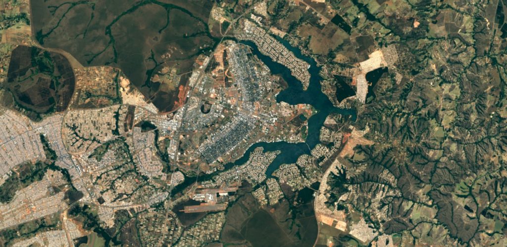
Brasilia, Brazil
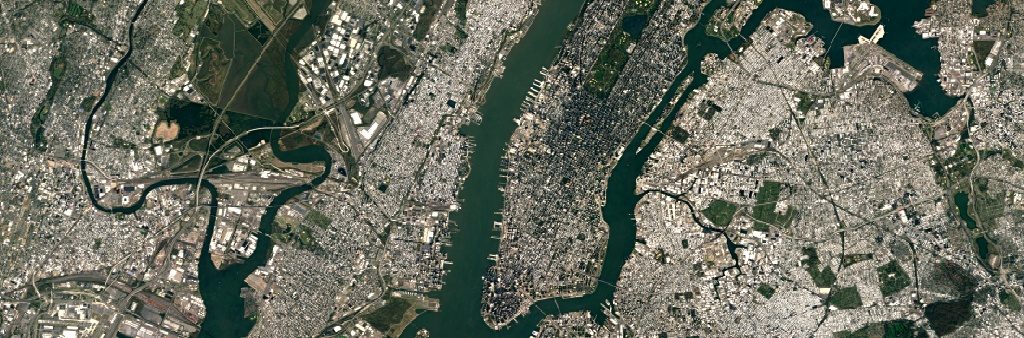
New York City
How did this happen?
Landsat 8 captures images twice as many images as it’s with greater detail, truer colors, and at an unprecedented frequency—capturing twice as many images as its predecessor, Landsat 7. These images contain greater detail, tuer colors, and unprecedented frequency. According to Google, this new rendition of Earth uses only the most recent data available, making it their cleanest and most up-to-date global mosaic yet.
Landsat, a joint program of the USGS and NASA, has continuously observed the Earth for nearly 45 years, since it’s launch in 1972, offering a wealth of information over the years regarding changes to the Earth’s surface. Their commitment to free and accessible open data has played a large part in making updated high-resolution satellite imagery for Maps and Earth a possibility. The best part – it’s all available in Earth Engine!
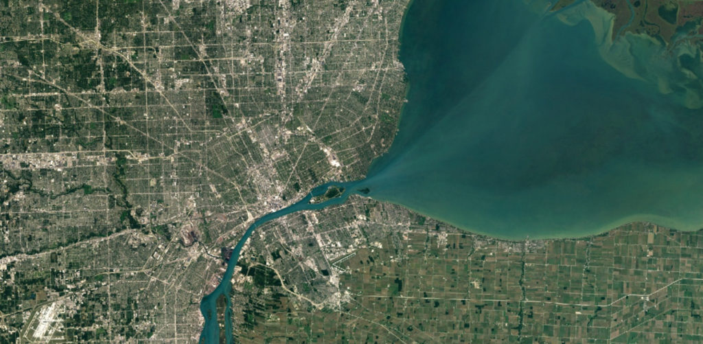
Detroit, Michigan
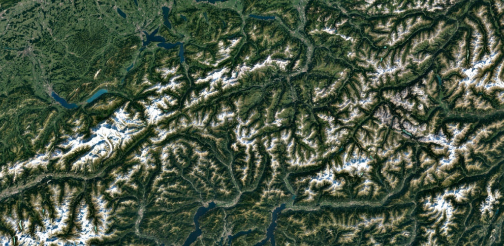
Swiss Alps, Switzerland
How do I use it?
Fortunately, the new HD satellite imagery for Google Maps and Earth is available across all of Google’s mapping products. It can be accessed using the same publicly available Earth Engine API, which scientists use to study environmental changes across the globe and track the spread of disease.
For the rest of us, just open up Google Earth, or turn on the satellite layer in Google Maps.
Recent Posts
On-Demand